PIXAM
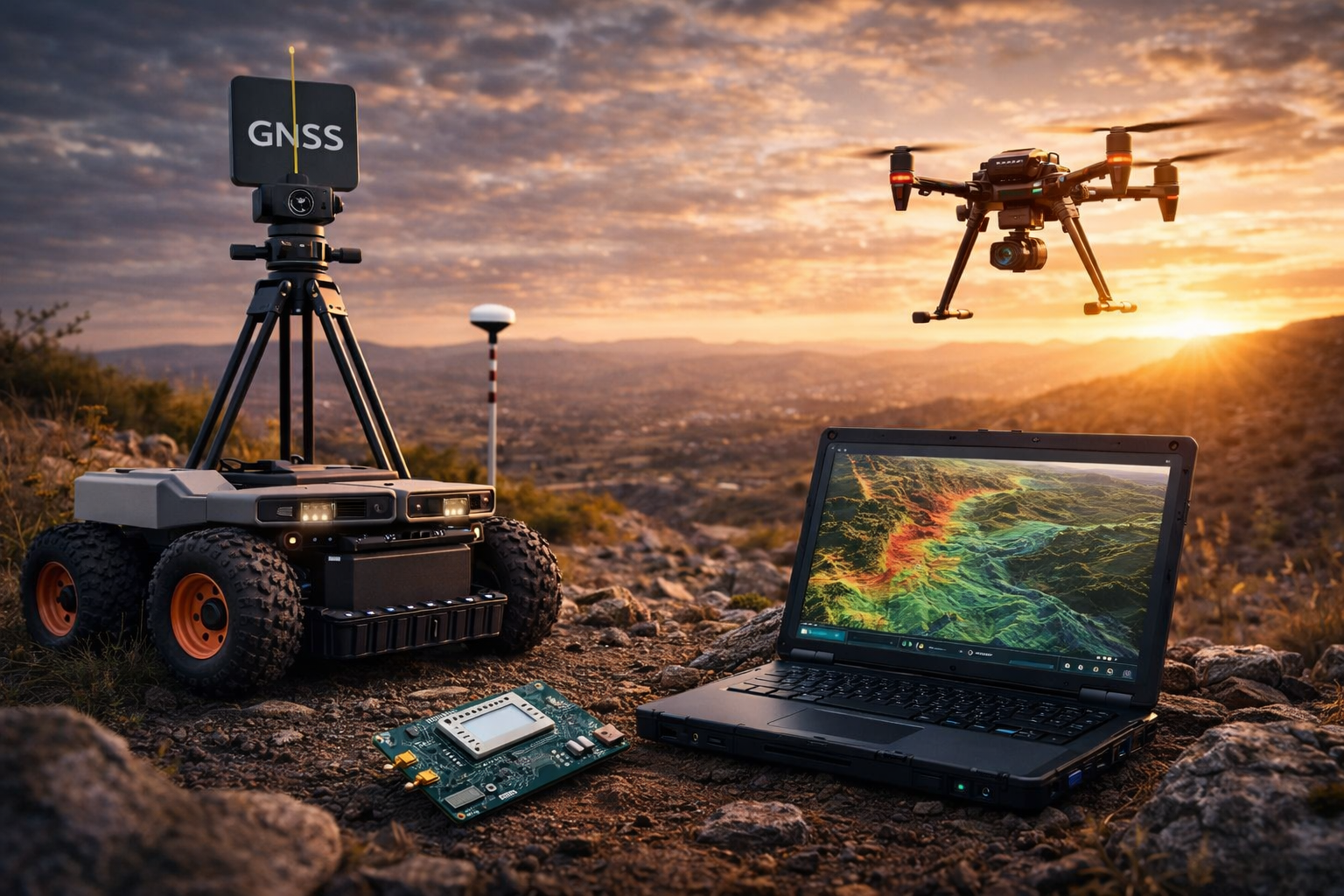
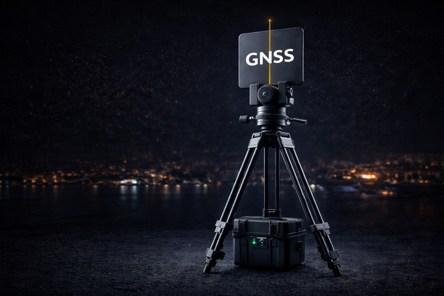
Intelligent GNSS systems for precision, real-world robots & drones.
Centimetre positioning, RTCM encoders/decoders, real-time data integration, and AI-assisted signal interpretation — delivered as hardware and software building blocks.
RTCM / NTRIP
Encoding · decoding · routing
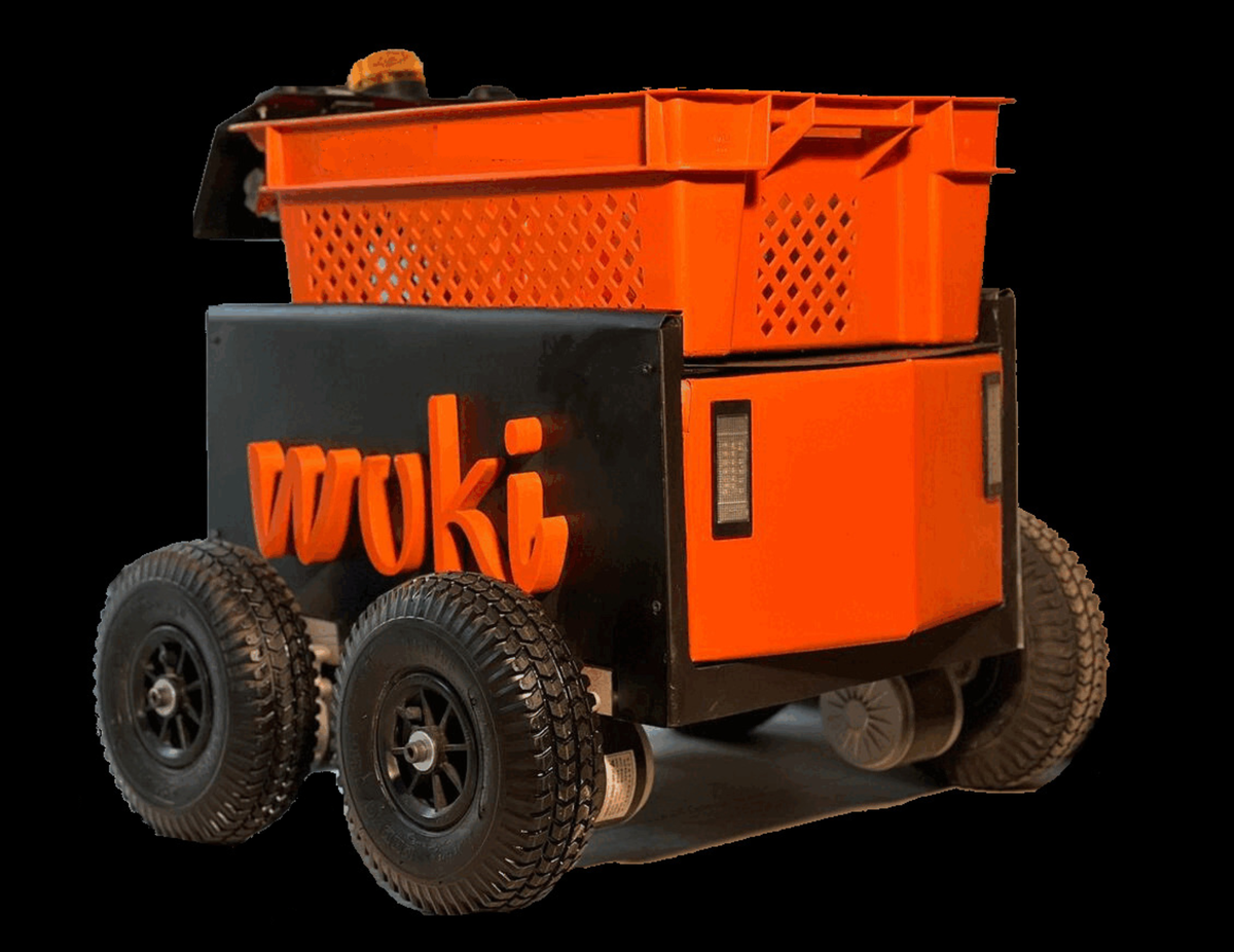
Robotics
Rugged field platforms
AI
Real-time signal insight