
GNSS-enabled systems for aerial drones applications
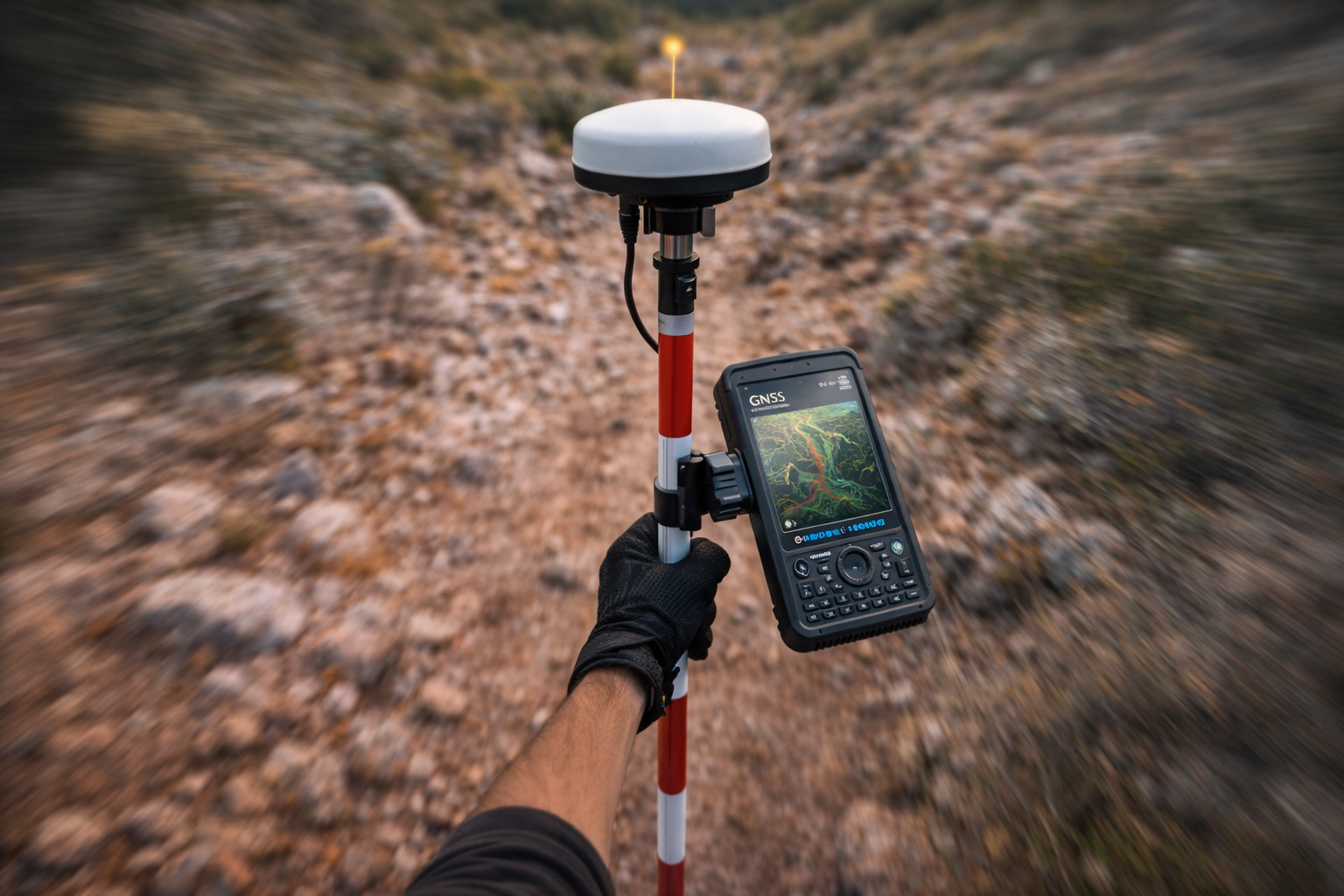
A GNSS-driven system designed to integrate with aerial platforms for mapping, inspection, and time-critical missions, centred on our software modules and positioning architecture rather than the aircraft itself.

Use cases
Positioning and data integrity first — for outputs you can trust.
Mapping & survey
High repeatability for photogrammetry, corridors, and geo-referenced data collection.
Inspection
Stable positioning and consistent flight lines for infrastructure and industrial inspections.
Search & response
Rapid deployment workflows for time-sensitive mapping and situational awareness.

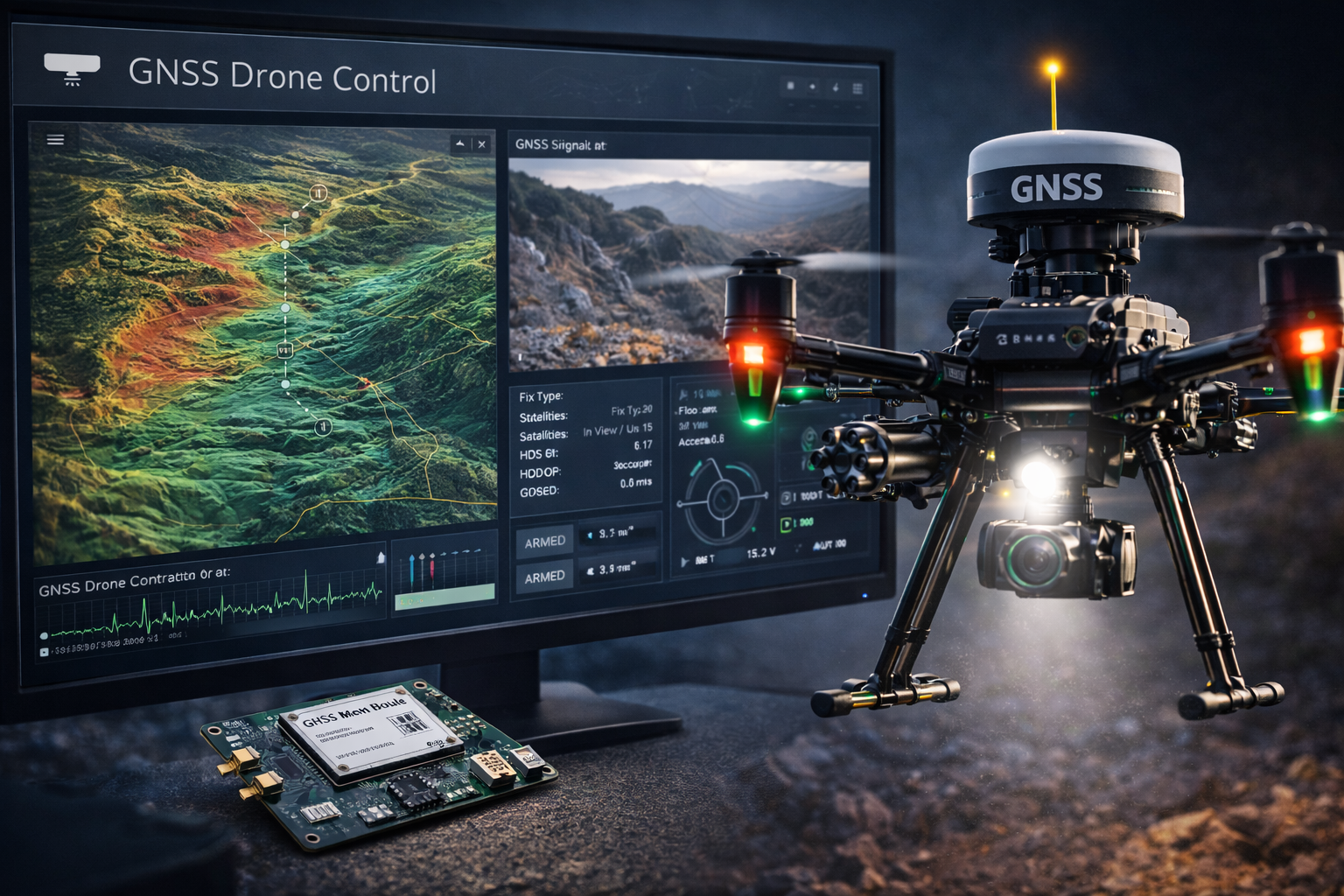
Real-time flight integration
Deliver RTK corrections and validated observables directly into flight controllers — enabling precise waypoint navigation and stable hover performance.
Adaptive signal intelligence
Monitor GNSS quality during flight, detect signal degradation or multipath conditions, and support adaptive positioning strategies in real time.
Mission-ready software stack
Telemetry pipelines, correction routing, logging, and ground-station observability — built to integrate cleanly with drone autonomy systems.